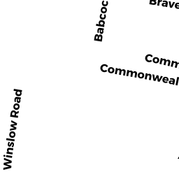
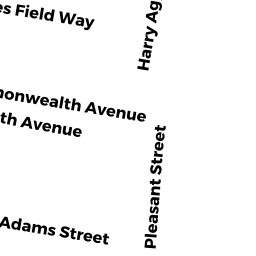
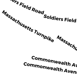
989 COMMONWEALTH AV
Owner Information
CITY OF BOSTON
989 COMMONWEALTH AVE
BOSTON, MA 02215


Property Details
989 COMMONWEALTH AV is classified as a Improved Municipal or Public Safety, Other City or Town (School).
The primary structure on this property was built in 1899. There are 51,000ft2 of built area within this property. There is 34,000ft2 of residential/living space within this property.
989 COMMONWEALTH AV is valued at $9,335,300. The land is valued at $2,872,800 and the structures are valued at $6,462,500.
989 COMMONWEALTH AV was last sold on Thursday, January 1, 1987 for $0.
Assessment data from fiscal year 2020.
Flood Data
According to the FEMA National Flood Hazard Layer, this property does not appear to be in a flood zone. It may also be in an area not yet reviewed. Nonetheless, confirm this information prior to taking any action.
To view the flood hazards around this property, create a FEMA "Firmette" Map of the area around 989 COMMONWEALTH AV.
Broadband Internet Providers
| Provider | Type | Bandwidth (mbps) | |
|---|---|---|---|
| GCI Communication Corp. | Satellite | 0 | 0 |
| Crown Castle Fiber | Fiber | 0 | 0 |
| Viasat Inc | Satellite | 100 | 3 |
| Verizon New England Inc. | DSL | 5 | 0 |
| HughesNet | Satellite | 25 | 3 |
| VSAT Systems, LLC. | Satellite | 2 | 1 |
| TPx Communications | Copper Wire | 0 | 0 |
| Comcast | Cable | 1000 | 35 |
| netBlazr Inc | Fixed Wireless | 50 | 50 |
Broadband service provider data from December 2020.
Adjacent Properties
- 2030 HARRY AGGANIS WY
Other (Charitable Org.) owned by BOSTON UNIVERSITY TRSTS - 2030 HARRY AGGANIS WY
IMPUTED - Commercial owned by BOSTON UNIVERSITY - 1001 COMMONWEALTH AV
(formerly Colleges, Schools(private). Removed June 2009. ) owned by MATCH SCHOOL FOUNDATION INC - 1001 COMMONWEALTH AV
IMPUTED - Industrial owned by MATCH SCHOOL FOUNDATION INC - 983- 985 COMMONWEALTH AV
IMPUTED - Exempt owned by BOSTON UNIVERSITY TRSTS OF